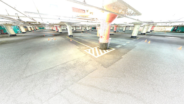
Above Ground & Underground Topographic Survey Project Overview This project was a great combination of traditional surveying techniques and laser scanning. Identify All Visible Topographic Features Above Ground and Underground Generate Surface Model Create Tunnel...