3D Scanning
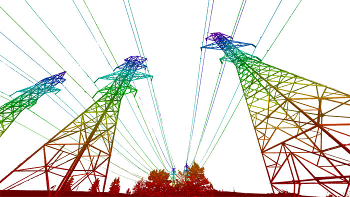
3D Laser Scanning/LiDAR
LiDAR (Light Detection and Ranging) and HDS (High Definition Surveying).
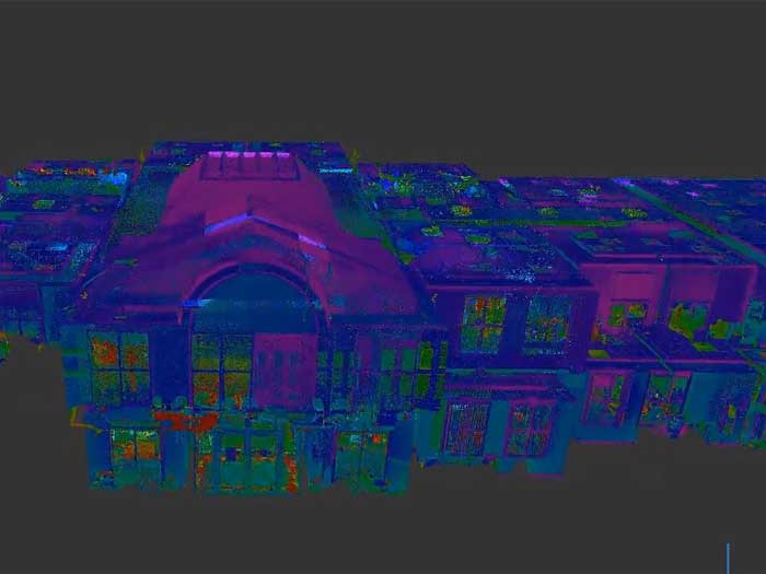
As-Built Plans from 3D Laser Scanning
As-Built Plans from 3D Laser Scanning Project Overview Complete 3D Scanning of Interior of Building Process and Registration of All Scans Creation of Point Cloud Prepare Sketch Showing Floor Layout Including Doors, Windows, Stairs, Height of Doors, Height of Windows,...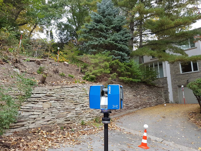
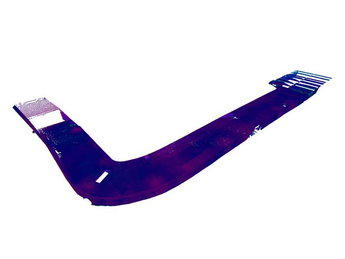
Pre and Post Construction Retaining Wall Survey
Pre and Post Construction Retaining Wall Survey Project Overview Determine Vertical and Horizontal Position of Wall Relate Wall Location to Property Line Establish Boundary Limits Create Profile of Wall Locate Wall Pre & Post Construction Click Here to Access Our...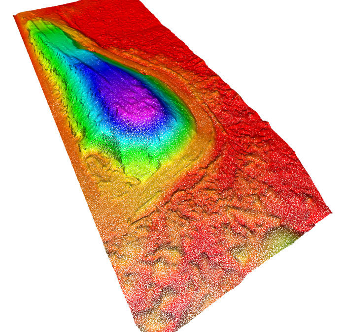
Stockpile Volume Calculations
Stockpile Volume Calculations Project Overview Calculate Volume of Stockpile Determine Surface Around the Pile Generate Digital Terrain Model Verify Pile Location in Relation to Boundary Pre and Post Construction Measurements to Determine Volume of Fill Removed or...