Topographic Surveys
Topographic Surveys
A Topographical Survey, also referred to as a Topo Survey, is a comprehensive type of survey that collects data regarding the physical features of a piece of land. The survey is used to produce a detailed map or plan of the land, including information about its contours, elevations, natural features, and man-made structures. The collected information is used in various applications such as construction, land-use planning, and land management.
The Topographic Survey measures the elevation of the land’s surface and various features using various surveying techniques. The elevation is depicted on the survey map through contour lines and spot elevations. The survey will also reference both surface and underground features(completed by a 3rd party), such as retaining walls, buildings, trees, and utility poles. The information gathered from the Topographical Survey is used by engineers, architects, and governmental agencies to determine the grade of the property/roads, create 3D plots, and evaluate existing infrastructure. It provides critical information for site planning, design, and development, as well as for identifying potential hazards and environmental issues.
Topographic surveys are usually the first step in any development or construction project. The information provided by the survey is crucial to every single step of the project that follows. Therefore hiring the right surveyors with expertise will not only help you save money and time at the beginning but will also help you avoid any unexpected surprises down the road.
IBW completes hundreds of topographic plans each year and can offer you:
- Accurate and reliable data. We work with all major engineering companies and contractors and will provide high quality data that meet your technical standards.
- Quick turnaround time. IBW has 30+ field crews across Ontario and can complete large amount of work on short notice
- Peace of mind. We assign dedicated project managers to take care of your project from start to finish.
General Project Flow For Topographic Surveys
The workflow of a Topographical Survey typically involves several steps, including the following:
Contact IBW Surveyors
Topographic Survey Question?
We're here to help.
Step 1: Planning and Preparation
The survey team will start planning the survey by reviewing existing records and maps, determining the location and extent of the survey area, and identifying any potential challenges or hazards. The team will also gather the necessary equipment and materials for the survey.
Step 2: Field Survey
In this phase, the survey team will carry out the field survey by obtaining measurements and collecting data using techniques such as GPS, electronic distance metering, and total station. The field crew begins the survey by establishing a robust horizontal and vertical control network and tying the traverse to published benchmarks and horizontal control monuments. Additionally, the team will also document any man-made or natural features found on the land, such as buildings, roads, trees, etc.
Step 3: Data Processing and Analysis
Upon the completion of the field survey, the survey team will process and analyze the collected data. A field Quality Control procedure will be performed, in which the fieldwork will be analyzed for accuracy and proper use of surveying techniques. If any necessary adjustments or transformations are required, they will be performed in this phase.
Step 4: Drafting
The Drafting team will then proceed to work on the field data and produce the deliverables in accordance with the client’s requirement. The CAD standards are typically defined by the client. IBW works with different municipalities and regions to stay up to date with their current standards.
Step 5: Quality Control
The Quality Control team will review the report and deliverables to ensure their accuracy and completeness. This step is often completed with the help of a field crew, images captured during the field surveys and up-to-date satellite imagery. Certain features are flagged for field audits, as needed.
Step 6: Final Review and Approval
The survey report and deliverables will be reviewed by the client and other stakeholders and any necessary changes will be made before final approval.
It’s important to note that the workflow may vary depending on the specific requirements of the survey and the size and complexity of the project.
Survey of Highways and Busy Roads
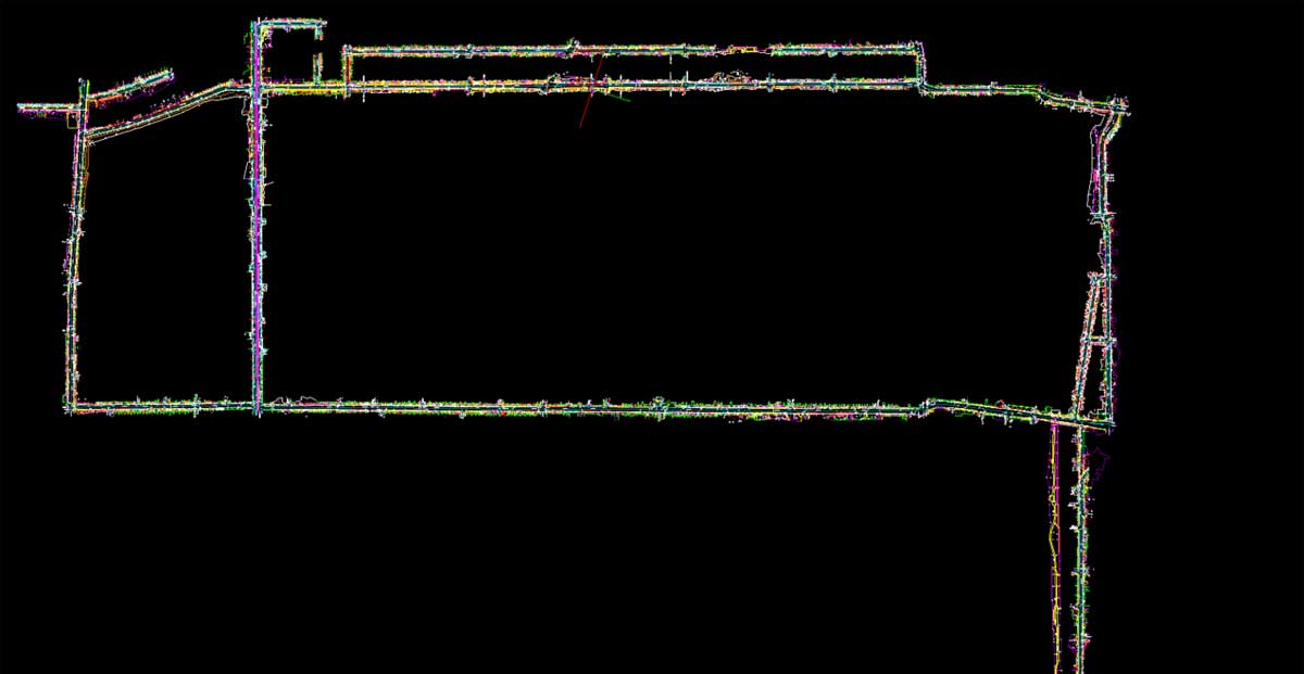
In the case of busy roads and highways, IBW overcomes the limitations posed by traffic safety measures by employing mobile mapping technology. The MX-9 system can be used to survey large areas in a rapid, accurate, and efficient manner, providing detailed data about the physical features of a specific piece of land.
The MX-9 is a mobile mapping system that can be used to assist with Topographical Surveys. The system uses a combination of LiDAR, high-resolution cameras, and inertial measurement units (IMUs) to collect data about the physical features of a piece of land. The system is typically mounted on a vehicle and is driven along the survey area to collect data. The MX-9 can be used to collect topographic data.
The data collected by the MX-9 can be processed and analyzed using specialized software to create 3D points, linework, and models.
Example Topographic Surveys
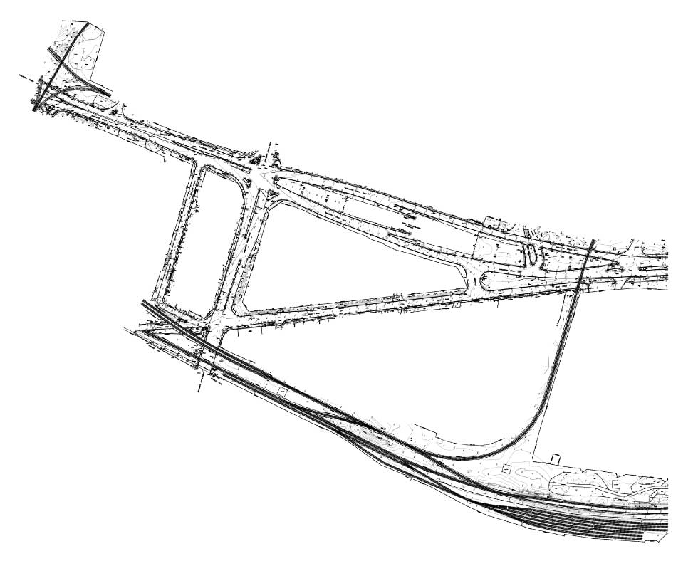
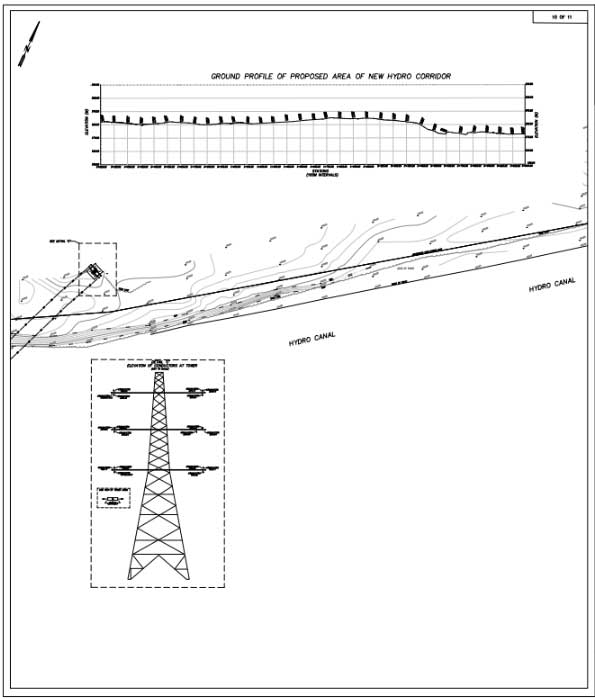
Below you will find the survey samples of what a complete Topographic Survey will resemble.
Frequently Asked Questions
What will the Topographic Survey show?
Is there any difference between Topographic Survey and Legal Boundary Survey?
Will the Topographic Survey show boundary lines?
Who uses Topographic Surveys?
How are Topographic Surveys conducted?
How long does a Topographic Survey take?
How much does an engineering survey cost?
Talk to a Surveying Expert
Have a Question on Topographic Surveys?
If you have a Vision, we will help you to turn it into reality


