3D Scanning
3D Laser Scanning/LiDAR
LiDAR (Light Detection and Ranging) and HDS (High Definition Surveying).
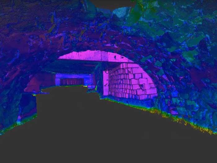
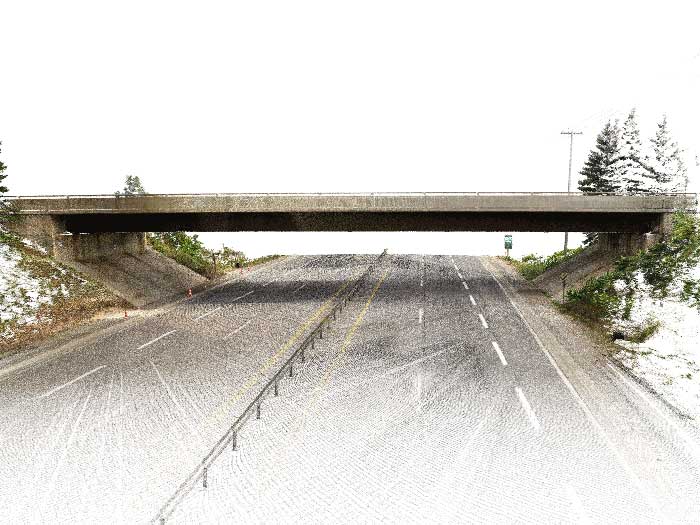
Culvert Topographic Survey
Culvert Topographic Survey Project Overview This project was a great combination of traditional surveying techniques and laser scanning. Identify All Visible Topographic Features Above Ground Generate Surface Model & Contours Create Culvert Profile Establish...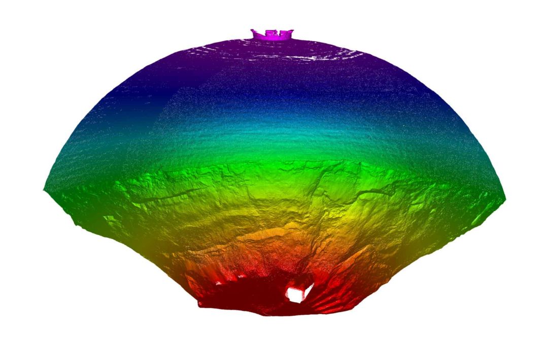
Dome Scanning
Dome Scanning Project Overview Scanning Inside of Dome for Volume Calculations Generate Point Cloud to Provide to Client Multiple Site Visit for Volume Comparison Safe and Accurate Data Collection If you have a Vision We will help you to turn it into reality Start A...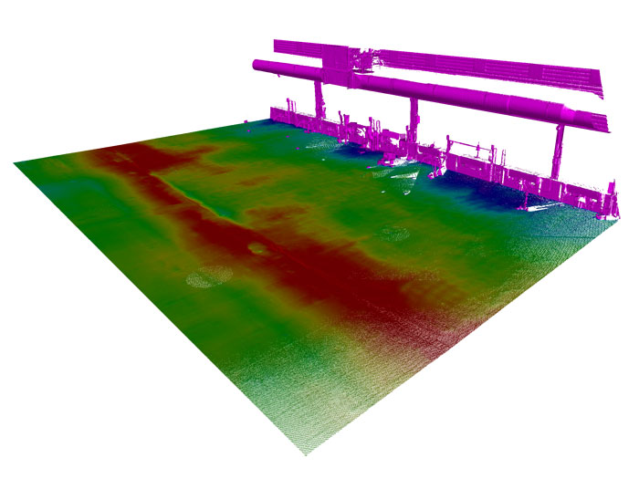
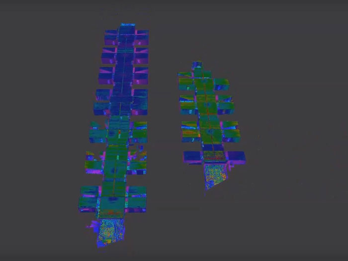
Concrete Levelness Inspection for Drainage Purposes
Concrete Levelness Inspection for Drainage Purposes Project Overview Determine Ground Variance in Elevation Generate Contours Create Plan Showing Elevations Over Specific Area Click Here to Access Our Lidar Web Application 3D Video obtained from 3D point cloud Learn...