Providing Professional Surveying Services Throughout Ontario
We are capable, dependable and professional.Expertise
DEDICATION
RELIABILITY
TECHNOLOGY
IBW Surveyors offers various surveying services ranging from large and complex condominiums to large and small scale topographic surveys for infrastructure design-build.
We work closely with engineers, architects, planners, lawyers, contractors and consultants at all phases of the project to ensure all the requirements/needs are met achieving the greatest value to our clients.
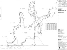
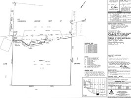
Our highly skilled professionals can provide various data format such as: digital terrain model (DTM), surfaces, contours, cross-sections, profiles, volume & area calculations, etc.
Every client has different needs, and often the client is unsure of exactly what surveying services are required to meet their needs. Call or email IBW Surveyors at any time to discuss your specific needs and we will come up with a specific solution for you.
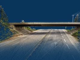
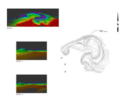
3D Laser Scanning/LiDAR
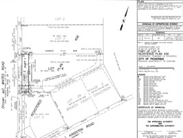
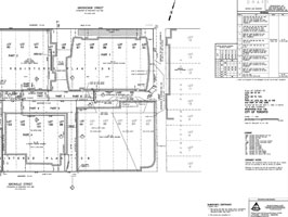
Condominium Development
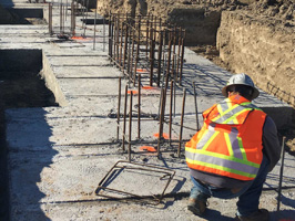
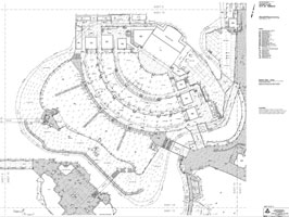
Construction Layout / As Built Surveys
Crown Lands Plans
Specialized survey for unpatented lands overseen by Surveyor General.
Custom Home Surveying
Deformation Monitoring
Surveys for Engineers
To determine the three dimensional position of points (XYZ).
Expropriation Plans
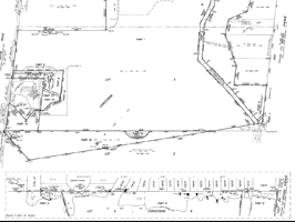
Farm Retracement Survey

Horizontal & Vertical Control Networks
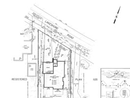
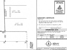
Legal Boundary Surveys
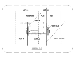
Reference Plans (R-Plans)
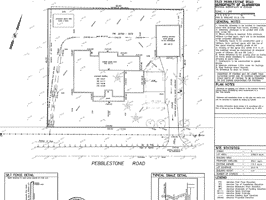
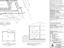
Site Plan Development
Stockpile Volume Calculations
Strata Plans
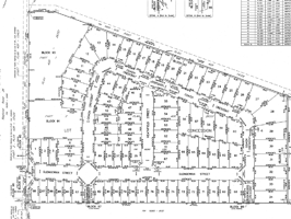
Subdivision Development
Survey Real Property Report (SRPR)
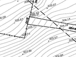
Topographic Surveys
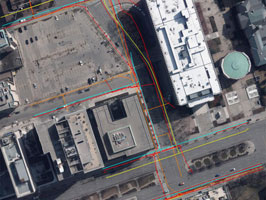
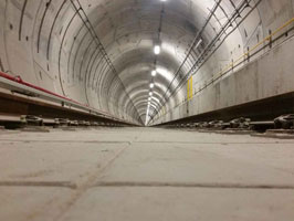
Utility Infrastructure Services